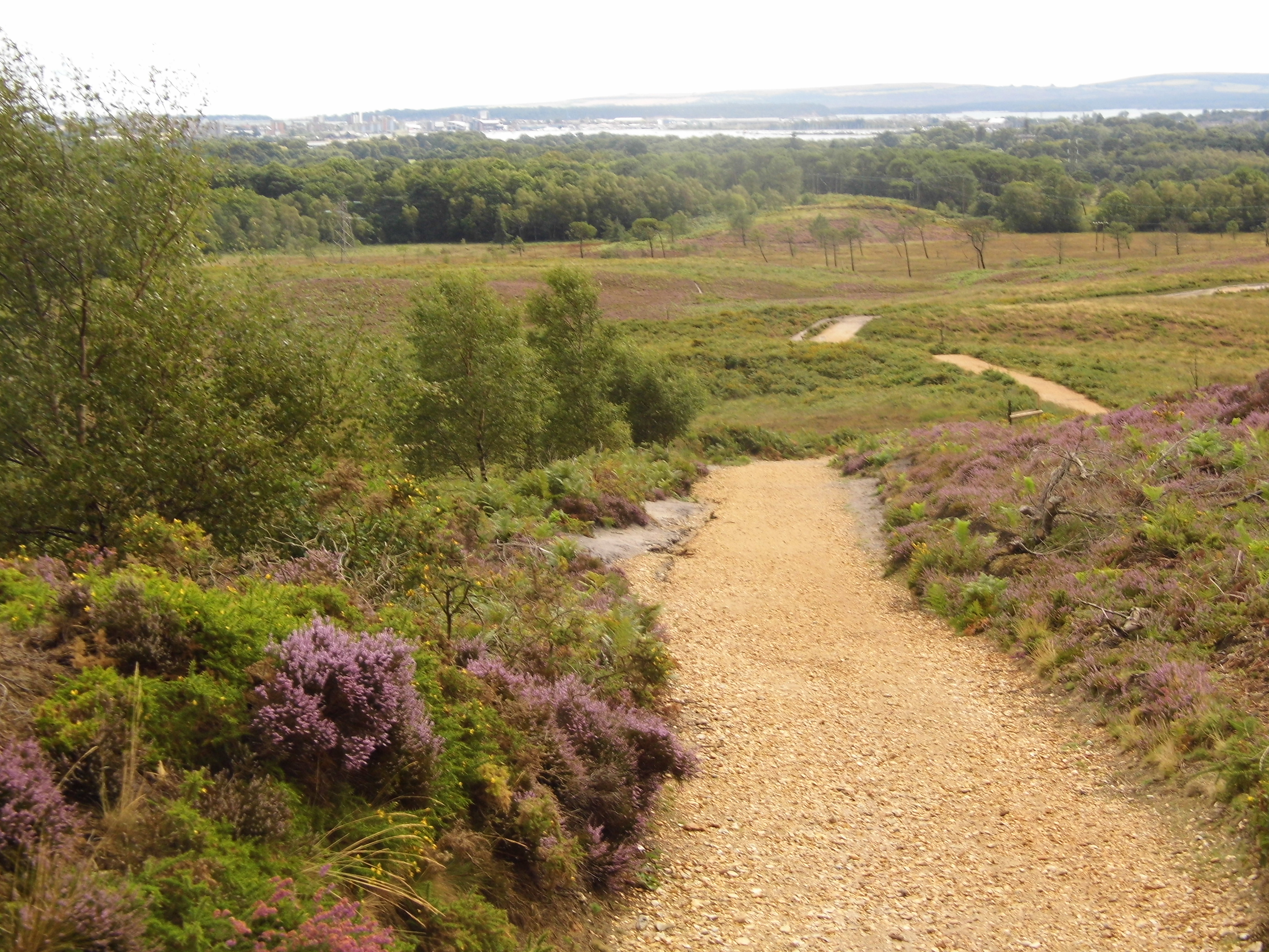
The Bournemouth, Christchurch and Poole (BCP) Council and the Dorset Council have local plans in place to mitigate the harm from new housing and tourism development on the Dorset Heathlands, which are coherent with the approach set by the SPD. The Councils have been operating the 2015-2020 SPD since January 2007. The SPD2020-2025 is an interim update that continues the approach set in the previous period. BCP and Dorset local authorities have adopted the SPD 2020-2025 on 31 March 2020.
The new SPD covers the period from 2020 to 2025 and sets out an approach and guiding principles to the alleviation of the harmful effects of residential development on Dorset’s lowland heaths. The strategy is a long term approach setting out a five year rolling programme of measures. It has been prepared jointly between BCP Council and Dorset Council with advice from Natural England. The strategy consists of two mutually dependent and supporting policy mechanisms:
- Restrictions on development within a buffer of 400 metres around the heathlands area; and
- Mitigation associated with some types of development within the a zone between 400 metres to 5 kilometre from the heathlands area.
The mitigation elements of the strategy are organised in two parts:
- Part 1: Strategic Access, Management and Monitoring (SAMM); and
- Part 2: Heathland Infrastructure Projects (HIPs).
The Councils intend to review the strategy set out in the SPD through the preparation of new local plans over the next 2-3 years to ensure that growth can be mitigated effectively.
Part 1: Strategic Access Management and Monitoring (SAMM)
SAMM provides a strategy to mitigate the potential impacts of new housing developments and determines the level of financial contribution required from new residential developments.
According to the SPD, developers who receive planning permission for residential buildings within the zone between 400m and 5km from protected heathland sites pay contribution fees. In general, no additional residential development is permitted within 400m straight distance from protected heathland sites, with the exception of purpose built schemes for the elderly or the disabled.
The due obligation is applied to every residential development where there is a net increase in dwellings. The financial contribution is based upon a standard charge, with adjustment for the different occupancy rate for houses and flats. To provide certainty to those making applications for residential development and to ensure transparency and accountability, a mechanism for the calculation of the planning obligation has been adopted, based on the forecast 2-year average population increase by type of dwelling in 2014-2028. The factors that are taken into account for calculating the developers’ contribution consider:
- The amount of planned development. For the BCP Council the trajectory indicates a supply of 11,290 homes in the five year period (2020-2025). 6,850 of this total have been already approved, while other 4,440 homes still need to come forward. For Dorset Council the trajectory indicates a supply of 3,716 homes in the five year period. 2,216 of this total have been already approved, while other 1,500 homes still need to come forward within the 5km heathland area.
- Cost of the mitigation measures part of the SAMM mechanism. This cost over the 2020-2025 period amounts to £2M, split in £1.42M for BCP Council and £0.58M for Dorset Council.
The charge is calculated by dividing the total cost of providing SAMM measures by the number of planned homes within the 5km heathland area for each respective Council over the period 2020-2025 The SAMMs contribution in the BCP Council for houses (2.42 occupants) are £394 and for flats (1.65 occupants) £269. In the Dorset Council the costs are £406 per house and £277 per flat.
These fees are applied to fund a number of measures to mitigate the impact of urban development on heathlands that can contribute in reducing heathlands sensitivity to climate change induced effects, as in particular to increased fire risk. Mitigation measures include: (i) improvement of existing recreational sites and development of new recreational infrastructure to divert the recreational pressure from the most valuable and sensitive heathlands; (ii) land purchased as alternative open space; (iii) provision of more rangers and wardens; (iv) purchasing monitoring equipment; (v) land management to reduce fire load and risk of fires; and (vi) purchasing firefighting equipment and developing other firefighting instruments. Concerning this latter point, 2019 measures included:
- Update of maps showing fire access routes for heathland sites; these maps are provided to fire appliances on their mobile data terminals.
- Use of WhatsApp to circulate information about fire incidents as they occur to land managers who will support each other as required.
- Launch of Firewise UK, an on-line platform raising awareness on how to reduce risk of fire to homes close to areas at risk from wildfire.
Part 2: Heathland Infrastructure Projects (HIPs)
HIPs are physical infrastructure projects that provide facilities to direct people away from the protected heathland sites. SANGs (Suitable Alternative Natural Greenspaces) are the most significant element of these projects, having a key role in providing an alternative destination to the Dorset Heathlands. HIPs are delivered from contributions collected through Community Infrastructure Levy (CIL) payments.
Possible types of Heathland Infrastructure Projects include: (i) route-ways, gateways, viewing points, seating and way marking, ii) improved access to non-designated sites iii) improved linkages between SANGs and other green infrastructure, or iv) creation of dog friendly areas to provide alternative secure locations for dog owners to train and exercise their dogs.


