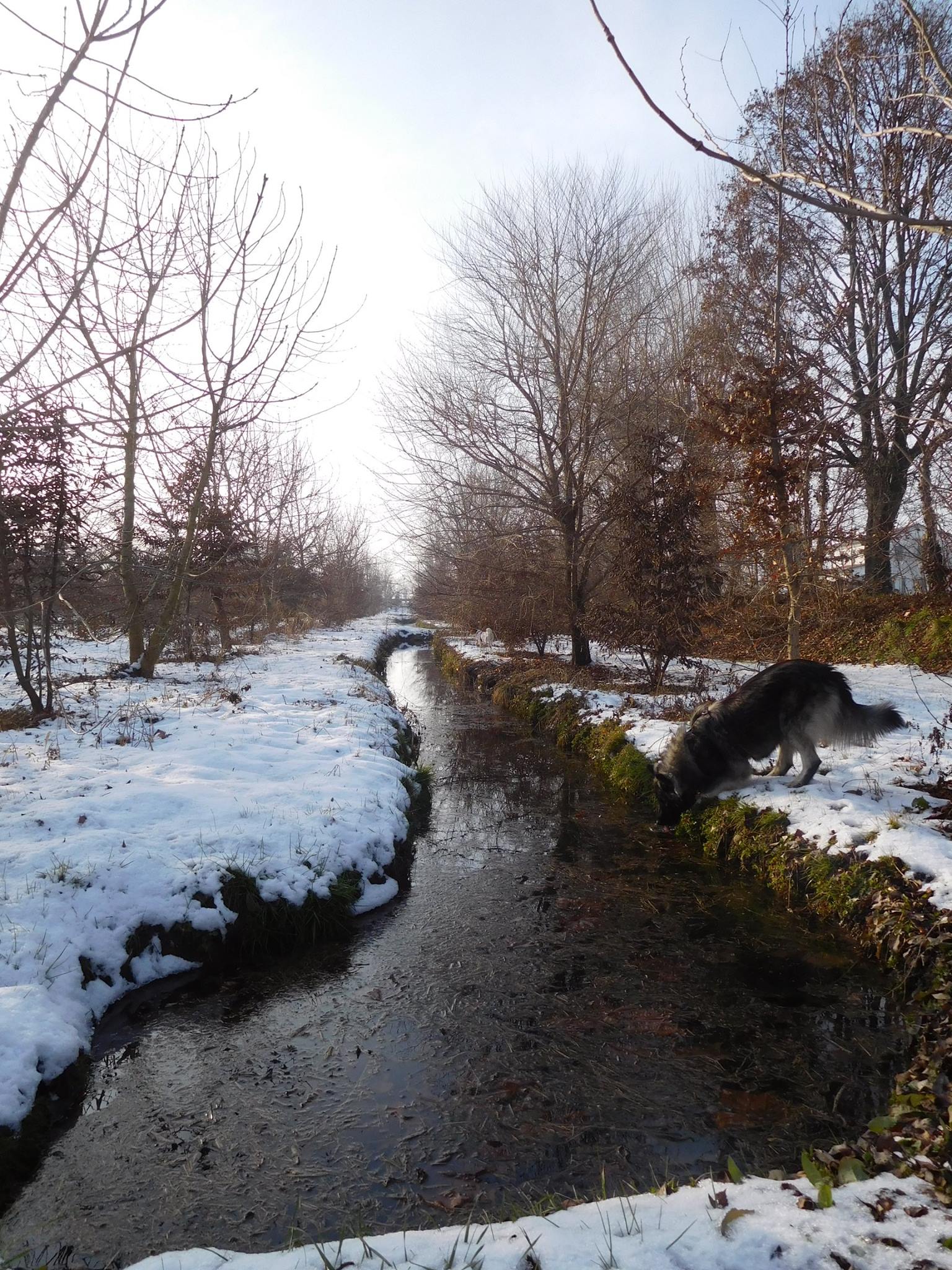
The Forested Infiltration Area system was conceived and developed for the first time in 2007 by Veneto Agricoltura, the Veneto region Authority responsible for aspects related to agricultural, forestry and agri-food development.
The design of the FIA aims at maximizing environmental and economic-productive functions. In doing so, the land surface has to be organized in a way that allow the cultivation of specific crop and exploit as much as possible the high infiltration rate that distinguishes the soils of Bosco Limite area, in order to provide for the groundwater recharge. The infrastructures and the subsequent management of the FIA must follow and respect a series of hydraulic, environmental, agronomic and forestry principles, which are strictly interconnected.
The innovative method consists in exploiting in a positive way the high infiltration rate of the soils above the resurgence belt, allocating their surface to the cultivation of a forest that allows to maximize the infiltration rate. The solutions consist in infiltration areas that feature a total of 10 longitudinal infiltration channels having a sinusoidal shape with wide curves. Each channel has a length of approximately 93 meters and are spaced about 14 meters apart (inter-axial). Four of these channels run East-West (first area) and six run North-South (second area). Water is evenly distributed in the recharge area by means of a water level regulation system, which divides the available flow equally among the individual infiltration channels. Each infiltration channel has water level control structures that are spaced 30 meters apart. These structures enable the system to form a ‘reservoir’, which improves the efficacy of the infiltration.
The FIA has to be supervised upstream by an input sediment control system and a system for monitoring infiltration waters. The sediment trap, or rather a small pool with a surface area of approximately 50 m2, collects suspended solids present in the intake water. This reduces blockages of the channels and ensures a longer useful lifespan for the system. The excess excavated material is used to create a rise on the North-western side of the infiltration area, providing a visual and acoustic barrier between the forested area and the adjacent public road.
The forested area is a naturalistic woodland that consists of sections of four parallel rows of vegetation alternating with channels. One of the four rows of each section is destined for periodic cutting (to permit maintenance of the channels by the Land Reclamation Board), while the other three contain tall trees. The rows parallel to the channels, which are also sinusoidal, are planted in two different ways. The rows that are to be periodically cut (located to the South or the East: about 1,400 plants/ha dedicated to Five-year Short Rotation Forestry) contain alternating secondary tree species (narrow-leafed ash and common hornbeam) that can be cut as required for maintenance. In the three central rows of tall trees, primary tree species (common oak, durmast oak, common ash, field elm, poplar and linden) alternate with secondary species (from a minimum of 1,200 plants/ha to a maximum of 2,400 plants/ha which are narrow-leafed ash and common hornbeam). Hazelnut, alder buckthorn, common buckthorn, blackthorn, wild privet and cornel trees are planted along the exterior borders of the woodland.
The use of the FIA hydraulic system works by loading the drains for a duration of up to 200 days (from September to April) if water can be derived from the rivers without adversely affecting its hydrological regime. The possible use of the FIA system periodically occurs during the irrigation season (from April to September).


